The information on this page was published in the past, thus it may be different from the current status.
To check the date of issuance, please refer to the following URL for the list of interviews, or for the list of special articles.


Using Satellites to Save Lives: Disaster Management with Satellite Imagery
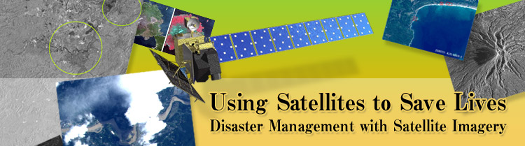
Of all the world's developed nations, Japan is afflicted with the greatest number of natural disasters. Our country is prone to major earthquakes, as well as typhoons, floods, tsunamis, heavy snowfall, and landslides. When a disaster strikes, it is very important to assess the damage quickly, but often transportation routes are damaged and there is no access to the area. This is when Earth-observing satellites become indispensable. JAXA's ALOS, the Advanced Land Observing Satellite, was launched in 2006, and today is contributing to disaster relief and recovery efforts in Japan and internationally. In this feature, we introduce JAXA's strategy for developing satellite applications for disaster management, and speak to specialists in the field about their expectations and suggestions.

Disaster Management with an Eye from Space
Hideshi Kozawa
Associate Executive Director, JAXA
FULL STORY

Strengthening the Resilience of Nation against Disasters
Satoru Nishikawa 
Director for Disaster Preparedness, Public Relations and International Cooperation, Cabinet Office, Government of Japan
FULL STORY

Protecting Citizens with Prompt Information
Tatsuya Yamashiro - Office of Natural Disaster and Rescue, Security Division, Security Bureau, National Police Agency

Munehiro Nagumo - Communications Operation Office, Info-Communications Planning Division, Info-Communications Bureau, National Police Agency
FULL STORY

Protecting Asia from Disasters
Orbita Roswintiarti
Head of Natural Resources and Environmental Monitoring Division, Indonesian National Institute of Aeronautics and Space (LAPAN)
FULL STORY


(interviewed April 2007)
History of JAXA's Earth Observations
Japanese Earth observation satellites are divided into two types: land observation, and marine and atmospheric observation. Land observation satellites mainly observe land and coastal areas, monitoring disasters, assessing land utilization, and surveying natural resources. Marine and atmospheric observation satellites observe global climate and environment changes, and monitor the state of the global environment.
FULL STORY