Flood in Northern Thailand Observed by
Advanced Land Observing Satellite "Daichi" (ALOS)
Japan Aerospace Exploration Agency (JAXA)
The Japan Aerospace Exploration Agency (JAXA) received a request from the Geo-Informatics and Space Technology Development Agency (GISTDA) of the Kingdom of Thailand to observe a flood in the northern area in Thailand. Accordingly, on May 25, 2006 (Japan Standard Time, JST), JAXA observed the flooded area using the Phased Array type L-band Synthetic Aperture Radar (PALSAR) aboard the Advanced Land Observing Satellite "Daichi" (ALOS) to provide observation data to the GISTDA.
The data is shown in the attachment.
* The PALSAR was developed by JAXA in corporation with the Ministry of Economy, Trade, and Industry.
|
|
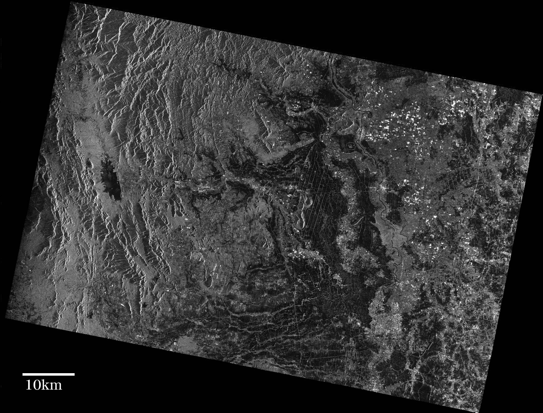
Figure 1 is an image taken by the PALSAR aboard the Advanced Land Observing Satellite "Daichi"(ALOS) on May 25, 2006. Figure 2 is an image acquired by the Earth Resources Satellite 1 (JERS-1 or FUYO-1) on June 5, 1997.
 |
 |
| <Figure 1> PALSAR | <Figure 2> JERS-1 |
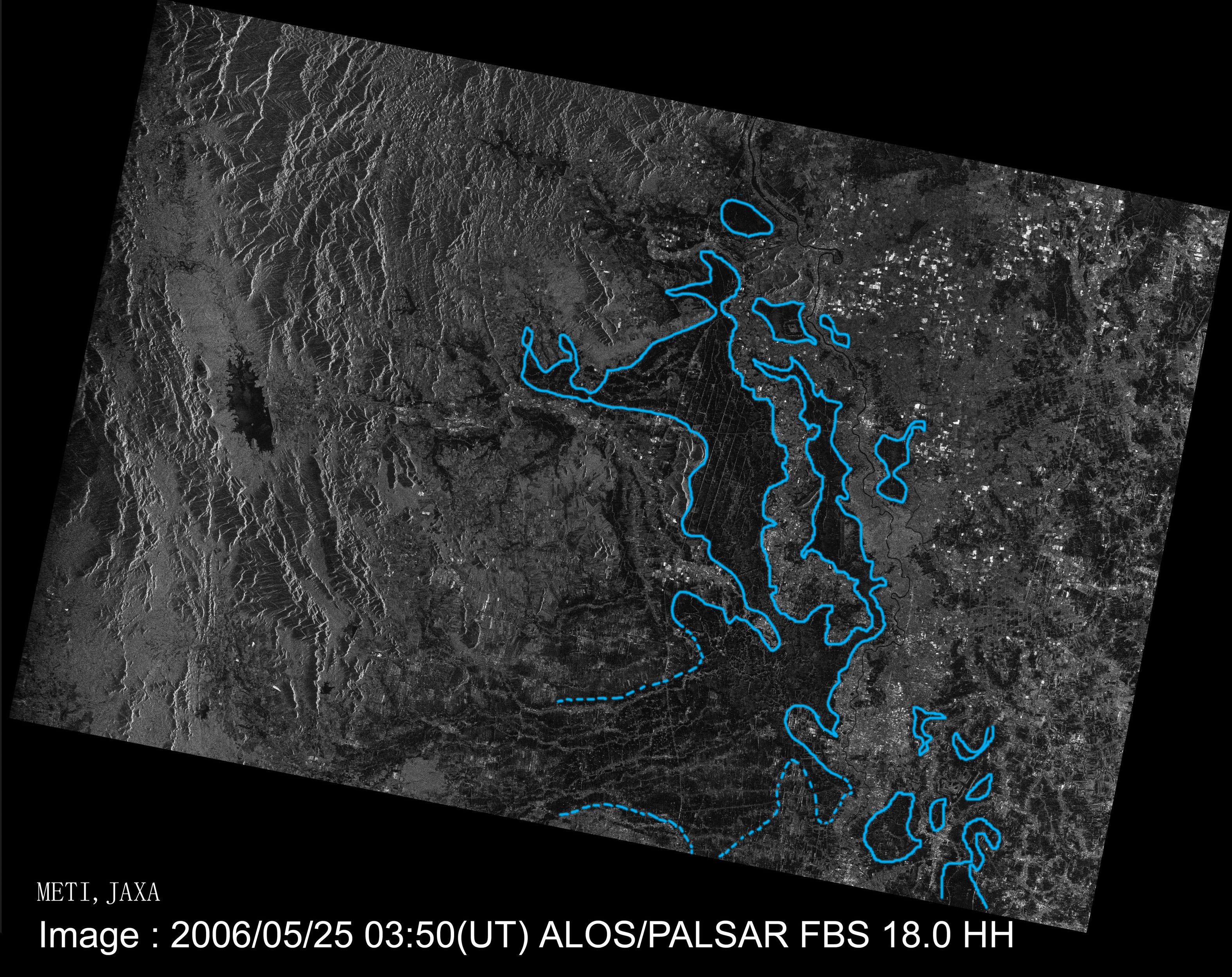 |
The image on the left shows the flooded area encircled in blue in Figure 1. The area was determined by the comparison of the reflectance in the above two images (Fig. 1 and 2.) 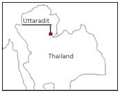 |
For inquiries:
JAXA Earth Observation Research Center
Tel:+81-3-6221-9008
FAX:+81-3-6221-9191
JAXA Disaster Management Support Office (DMSO)
Tel:+81-3-3516-9106, 9117
Fax:+81-3-3516-9160