Q. What does the Earth Observation Research Center (EORC) do? Could you explain what your job is there?
We analyze observation data acquired by Earth observation satellites, validate features of the sensors, and maintain and improve the quality of image data for external users. Satellite observation data usually contains noise, which appears in the images as stripes. Sometimes there is also distortion due to the Earth's rotation or to the direction from which the satellite sensors observe the Earth. Depending on the satellite's position relative to the Earth, a straight road or a flat surface might look curved. So, after the data comes in, our first job is to calibrate it by removing any noise. The actual calibration is done with computers, but we develop the numeric formulas. We also rewrite algorithms, which are combinations of formulas, to preserve the quality of the image data as satellites degrade. Just as we have trouble with hearing or vision as we get older, satellites are also influenced by time. Their features change after launch, after six months, a year, three years, and so on, and the quality of the images they capture also gradually degrades. So it's very important to monitor the sensitivity of satellites in comparison to previous data. We correct the existing algorithms or develop new ones, as necessary. We also analyze global environmental changes, the locations of earthquakes, etc., by extrapolating?from the data. This is also a very important function at the EORC. Finally, we study disasters, for example, to locate landslides or surface subsidence [sinking].
My research focuses on data calibration and applied analysis technology, especially to find surface changes such as ground rise or subsidence, in satellite images.
 PALSAR, the Phased Array type L-band Synthetic Aperture Radar (artist's rendition) |
 Lake Biwa, as observed by PALSAR |
 AVNIR-2, the Advanced Visible and Near Infrared Radiometer type 2 (artist's rendition) |
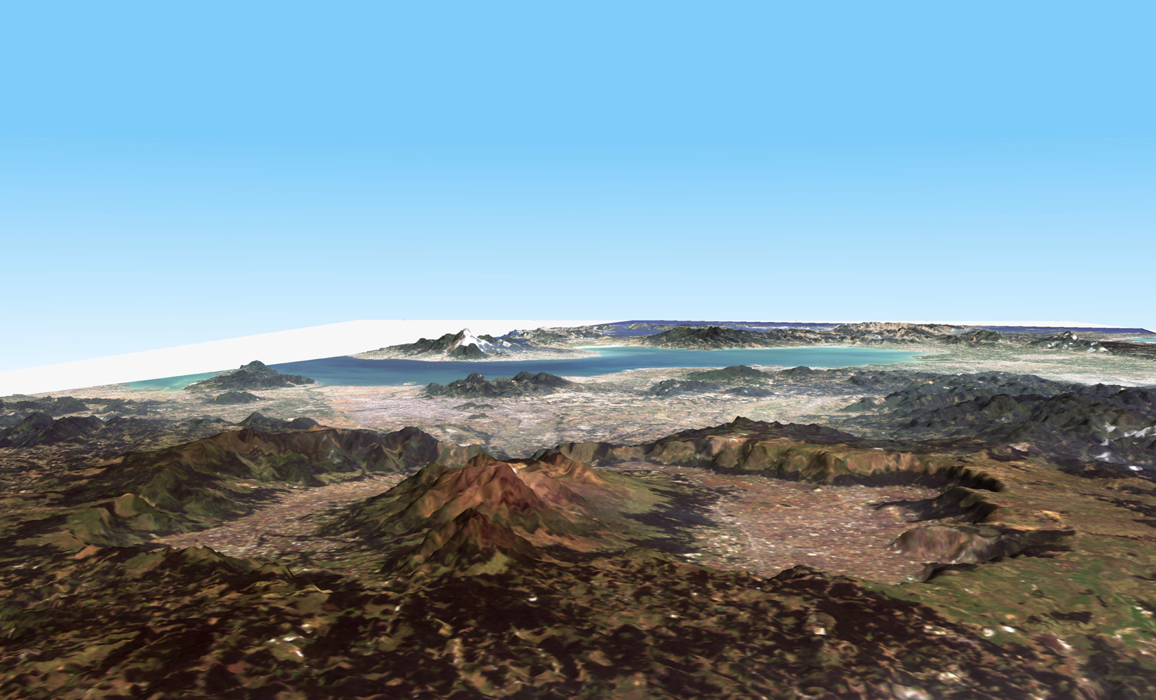 Bird's eye view of Mt. Aso, as observed by AVNIR-2 |
 PRISM, the Panchromatic Remote-sensing Instrument for Stereo Mapping (artist's rendition) |
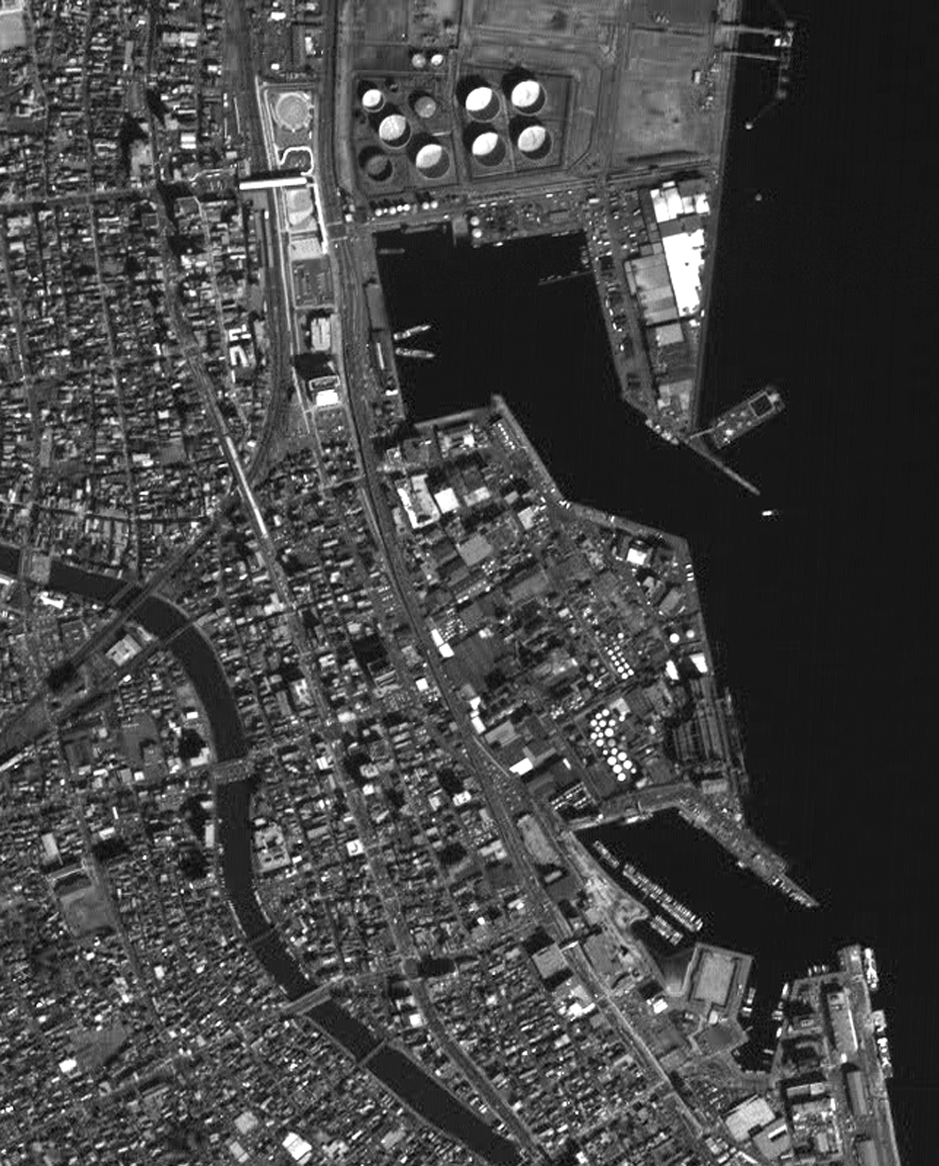 The Port of Shimizu in Shizuoka prefecture, as observed by PRISM |
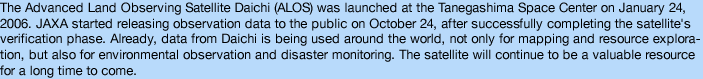
Q. How do Daichi's images compare to those of conventional Earth observation satellites?
They are much better. Overseas scientists have also told us that they are finding Daichi's data to be very useful. I have been involved primarily in developing image processing software for PALSAR (Phased Array type L-band Synthetic Aperture Radar). The sensor is very reliable and the images are so beautiful, I am very satisfied with the great results that PALSAR has been generating. PALSAR is the upgraded version of the synthetic aperture radar (SAR) on JERS-1 (Japanese Earth Resources Satellite-1), launched in 1992, and can carry out observations night and day, in any weather conditions. The main improvements are PALSAR's ability to detect dark targets, and its higher resolution. The quality of images is so good that you can even distinguish a raft floating at a pearl farm on Lake Biwa.
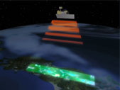
Daichi is equipped with two other sensors as well: AVNIR-2 (Advanced Visible and Near Infrared Radiometer type 2) and PRISM (Panchromatic Remote-sensing Instrument for Stereo Mapping). Both are doing really well. AVNIR-2 observes the status and utilization of land surface with visible and near-infrared wavelengths. PRISM has a 2.5-meter spatial resolution. It acquires images from three different directions at the same time, viewing forward, backward, and nadir, and its data provides a highly accurate digital elevation model (DEM).
Daichi data has been available to the public since October 24, 2006. I'm expecting it will be used widely by many people.
| 1 2 3 4 |